Boat GPS: A Guide to Navigating the Waters
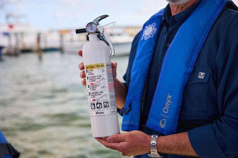
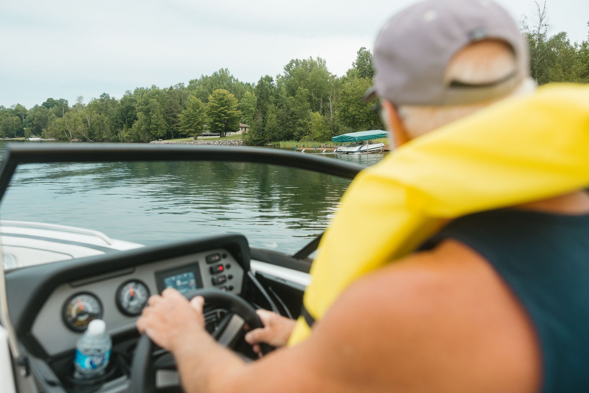
No matter where you're headed in your boat, make sure you know where you're going and how to navigate to your destination. That's where boat GPS comes in. Like life jackets, fire extinguishers, and a first aid kit, having a GPS is an essential part of boating safety.
We reached out to our friends at Wavve Boating to help us pull together everything you need to know about what GPS is, why it matters, and which type is right for your needs.
Why Boat GPS Is Essential
The biggest reason to use GPS for boats is safety.
This satellite-based guidance system helps you avoid hazards such as shallow water, rocks, or restricted areas, so you can focus on having fun with friends, fishing, or just cruising on lakes and rivers. When you know what to look out for, you're more likely to avoid accidental grounding or a collision with another boat or object in the water.
Efficiency is another crucial reason to equip your boat with a GPS. Boaters can save time and money by plotting the fastest and most fuel-efficient routes to get where they want to go on the water. GPS delivers accurate and thorough navigation for more direct routes.
Along with making your trip safer and more efficient, using a GPS in your boat can bring you peace of mind. You'll know your position even if you have poor visibility or there aren't any landmarks to use as reference points. It can be all too easy to become lost, even in familiar waters, at night or if the weather is poor.
What are the Types of GPS for Boats?
There are several different types of boat GPS, but today we'll highlight fixed-mount units, handheld units, and mobile apps. Here's a little about various GPS options for your boat to help you make the best choice for your boating adventures!
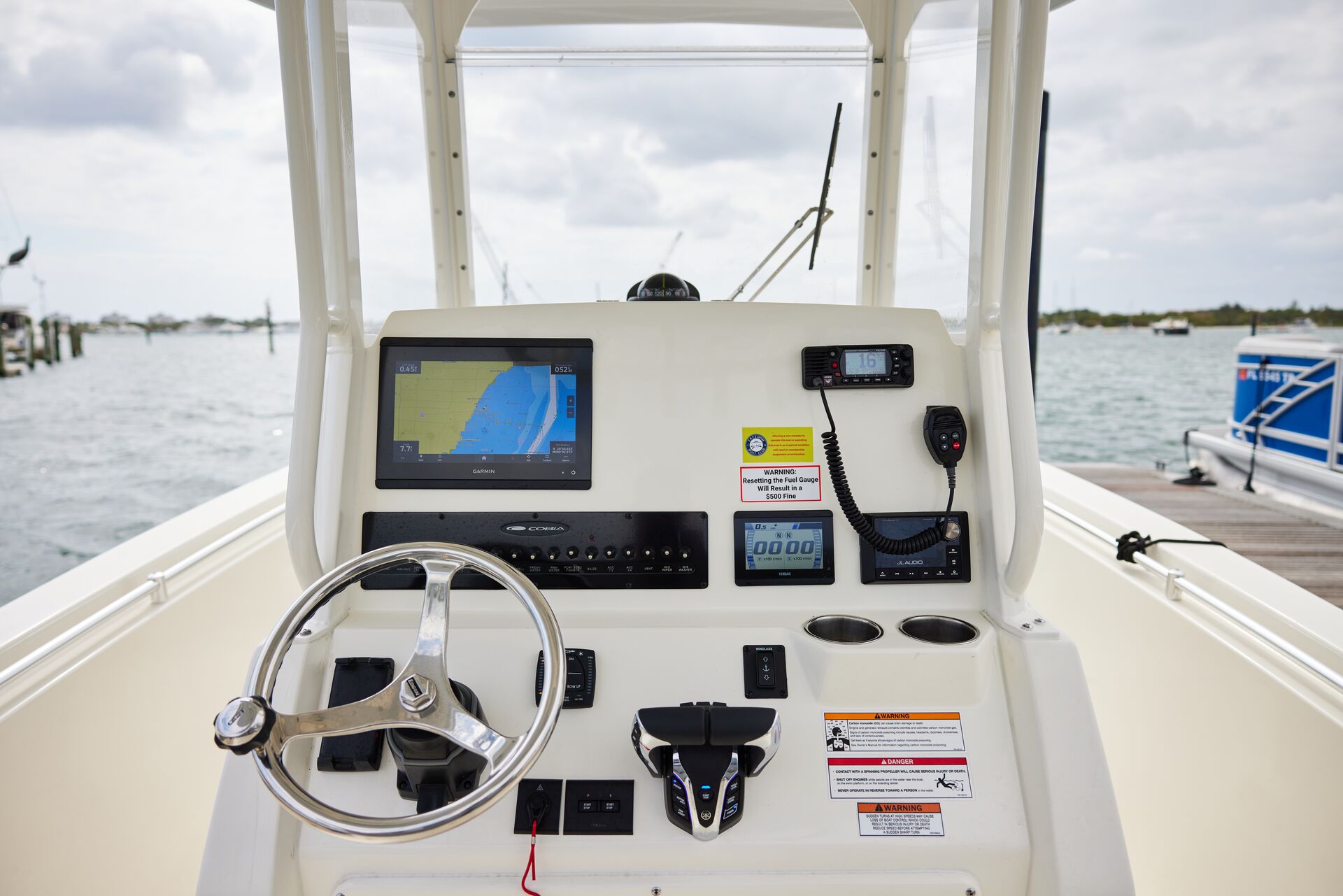
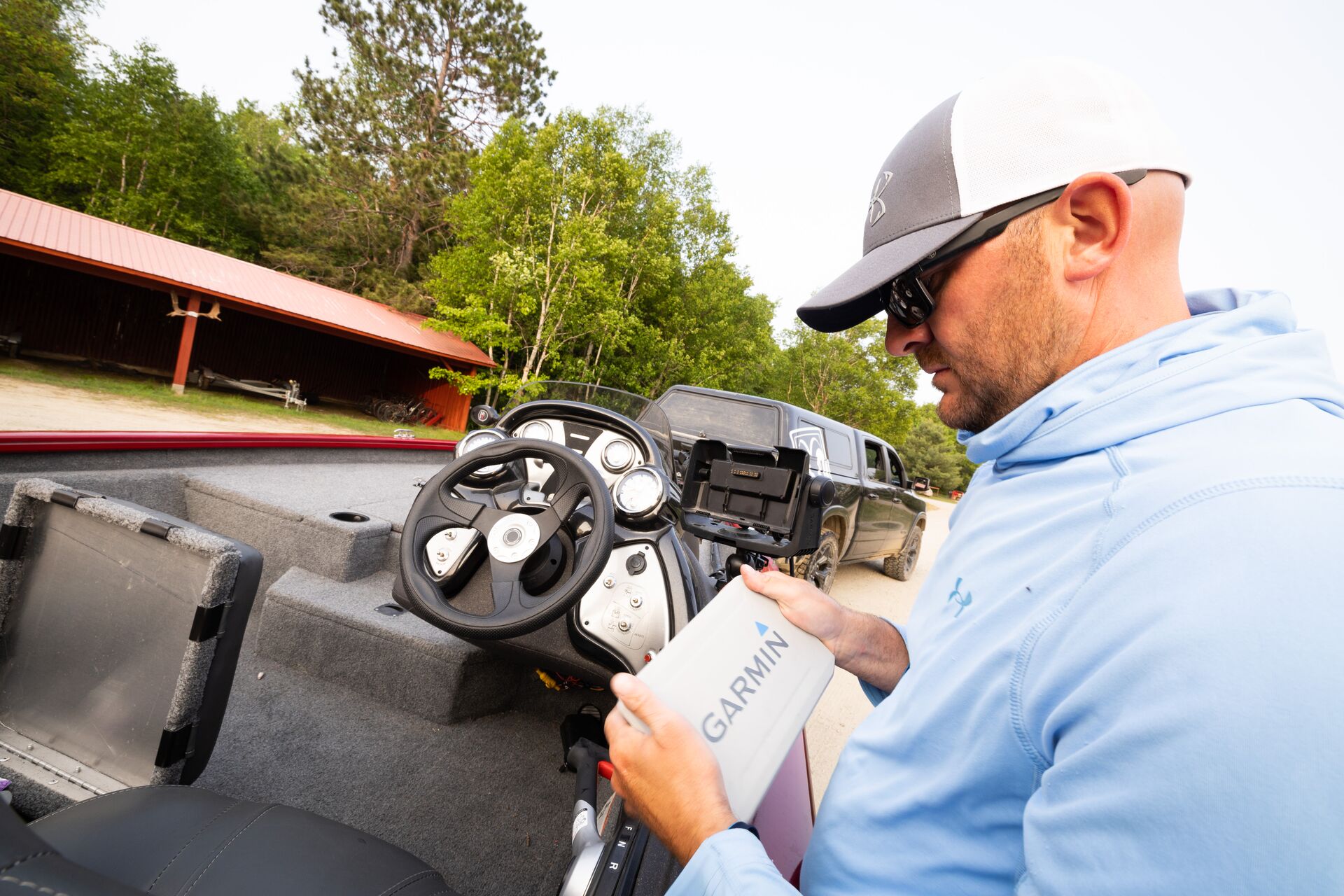
Fixed-Mount GPS Units
A fixed-mount GPS unit often comes with radar integrations, fish finders, and chartplotters, so you'll have everything you need at your fingertips. These are some of the most comprehensive GPS options on the market, but they're not the only ones that can work for your boating needs.
Handheld GPS Units
A handheld unit is compact and lightweight, making it great for small crafts or as a backup navigation option. These are highly portable GPS options and are easy to carry with you.
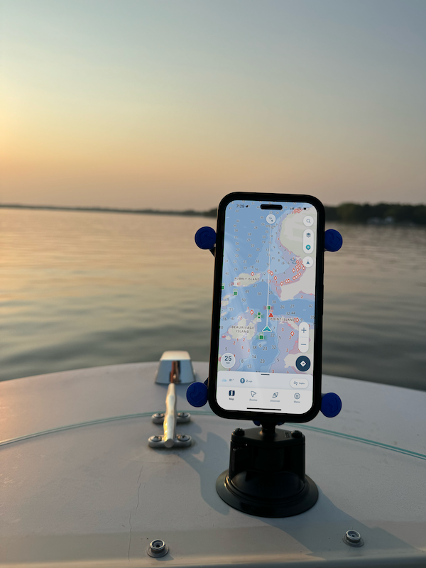
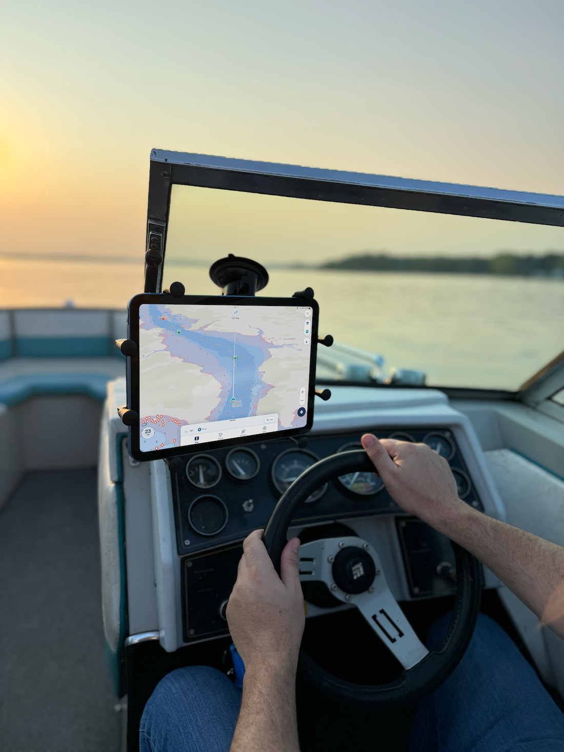
Mobile Apps
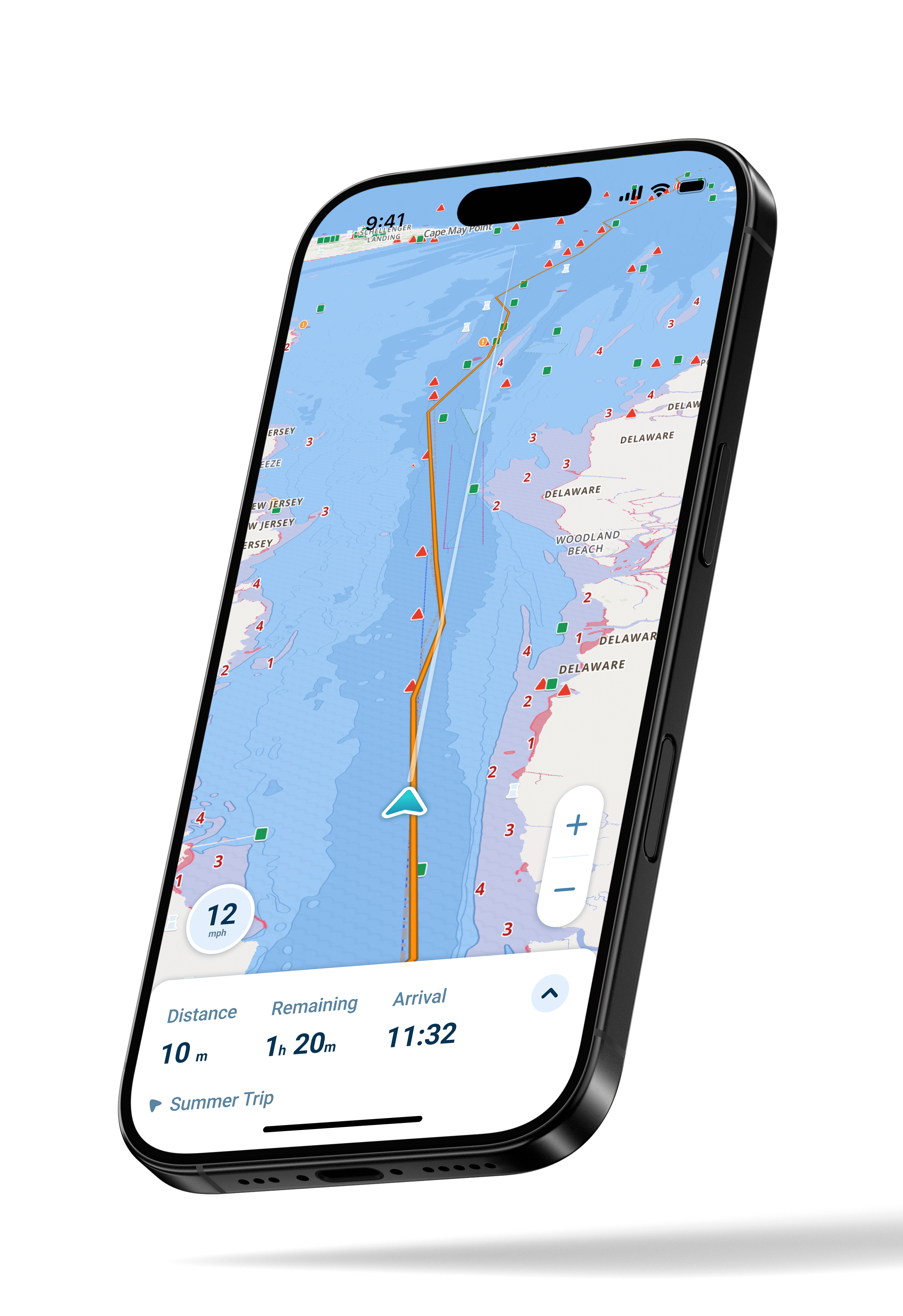
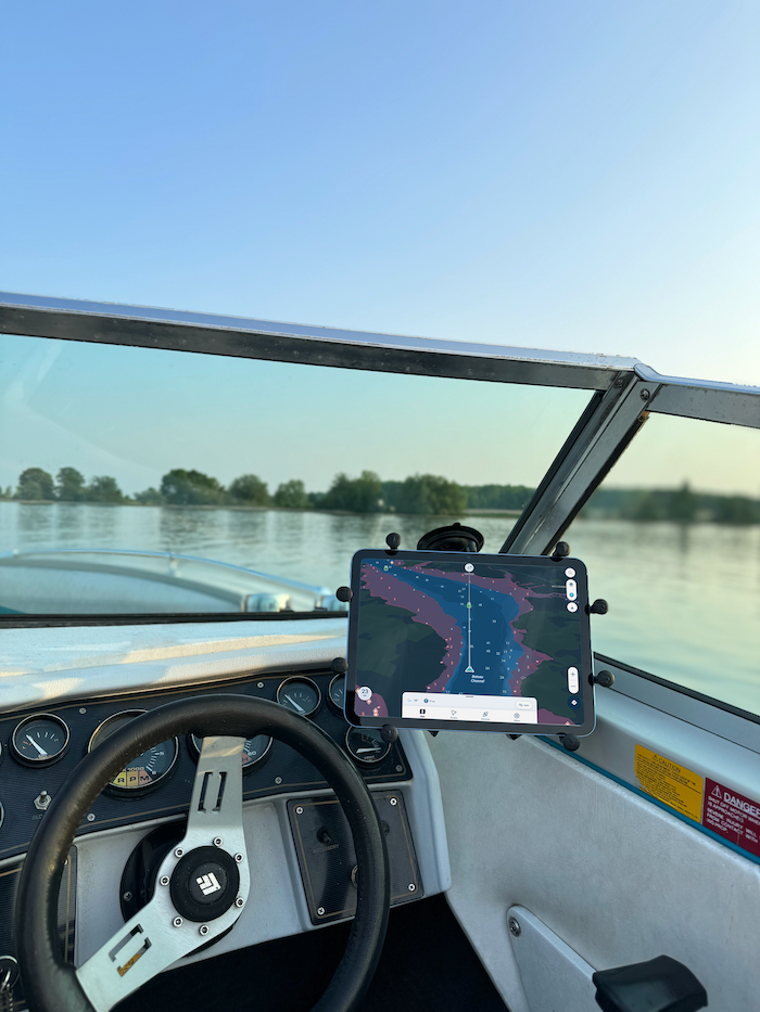
A mobile app, such as Wavve Boating, is an affordable and user-friendly option for adding GPS to your boat.
The app is constantly updated via your smartphone, so you won't have to worry about outdated information that could lead you off course. Since it's on your phone, it's also easy to carry with you, and reduces the risk that you'll forget your GPS unit or have it malfunction in some way.
The Rise of GPS Apps Like Wavve Boating
Mobile GPS apps have transformed the way boat operators approach navigation.
Traditional marine electronics often come with high costs, complex setups, and big learning curves. However, app-based tools are more accessible from a tablet or smartphone. They also deliver a more user-friendly experience.
Here’s why more boaters are turning to mobile GPS apps:
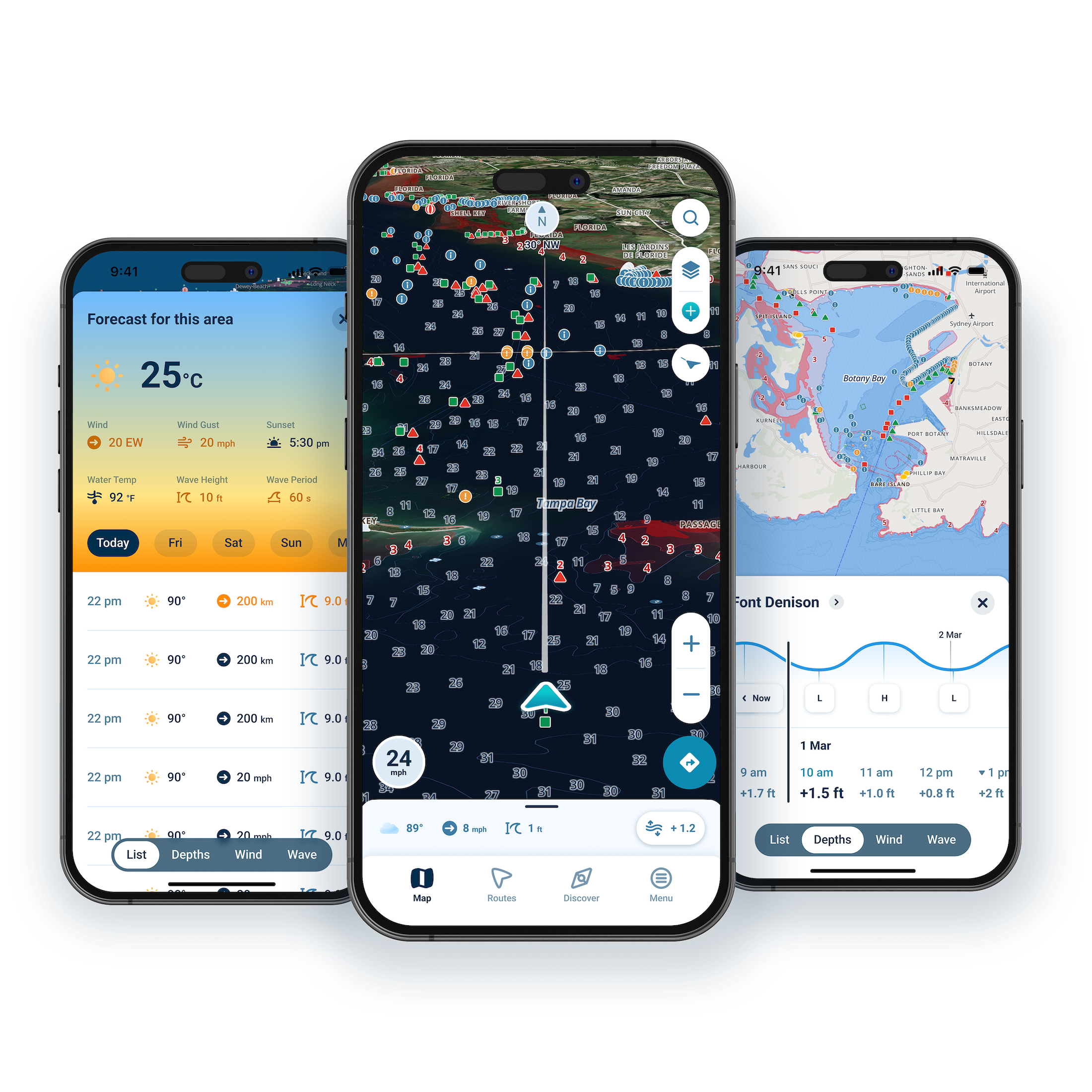
- User-Friendly Interfaces: Modern boating app designs are more intuitive, making it easy for both new and experienced boaters to read charts, plot routes, and stay on course with minimal setup or training.
- Custom Routes and Smart Navigation: From island-hopping to offshore fishing, GPS apps allow boaters to create, save, and follow personalized routes all from their cell phone or tablet. Auto-routing, estimated time of arrival, and fuel consumption calculators make trip planning more precise and stress-free.
- Weather and Tidal Intelligence: Integrated forecast tools often include wave heights, wind conditions, and tidal changes — helping boaters make informed decisions before heading out. In some products, real-time depth tracking and water level indicators are becoming increasingly common, adding even more confidence on the water.
As cell reception offshore has improved, and marine apps grow more sophisticated, GPS apps are quickly becoming the go-to navigation solution for boaters of all types.
Key Features to Look for in a GPS Solution
The wrong GPS tool can quickly ruin a day on the water. Whether you're going digital with an app or considering a traditional unit, here are the features that matter most.
Plus, check out how our friends at Wavve Boating stack up!
| Feature | Why It Matters | Wavve Boating Advantage |
Real-Time Location Tracking | See exactly where you are on the water, always. | GPS live tracking shows your exact position on a customizable map that’s specific to your vessel’s draft. |
Tide and Weather Integration | Plan ahead and avoid unexpected conditions. | Know the best times to boat with local weather forecasts and real-time tidal data. Wavve is in real-time communication with over 5,700 water level stations across North America. |
| Offline Map Access | Stay safe in low-signal areas or offshore. | Charts are automatically saved for offline use as you pan around the map. |
| Waypoint Marking | Save favorite fishing spots, dive sites, and docks. | Easily mark and revisit key locations as well as discover destinations that are top-rated by other boaters in the community. |
Autorouting & Navigation | Makes trip planning faster, safer, and more efficient. | Award-winning tools that create optimized routes based on your boat’s draft, current water conditions, and known navigational restrictions. |
Plus, ilearntoboat students can take advantage of an exclusive offer! After completing your boater safety course, you can unlock a 1-Year Free Trial of the Wavve Boating App!
How to Use Wavve Boating on the Water in 6 Steps
Getting started with Wavve Boating is fast and simple.
Here's a step-by-step guide to getting the most out of the app during your free trial (and beyond):
- Download Wavve Boating from the Apple App Store or Google Play Store.
- Enter your vessel’s draft to customize nautical charts with an easy-to-read safe zone depths.
- Add your homeport. (Check out this helpful video!)
- Create your first route. (Here's another how-to video!)
- Easily search for nearby points of interest like boat ramps, fishing spots, beaches, or dock-and-dines.
- Use the weather tools to view local forecasts and water conditions. Stay ahead of the tide, monitor wind speeds and wave heights, all in the same app. Quickly add a water station to your map to update depths in real-time.
Then, discover top local boaters, popular destinations, and recently added updates from the community.
What Are the Benefits of App-Based GPS vs. Traditional Units?
Marine electronics have come a long way. However, more boaters are ditching the bulk and going all-in on app-based solutions.
Here's why:
- Cost-Effective. There's no need to spend thousands of dollars on dedicated marine hardware.
- Portable. Apps go with you! Use it on any boat or vessel, including rentals.
- Always Updated. Forget manual updates. Wavve’s map updates in real-time.
- Socially Integrated. Get input from real boaters, including popular destinations and recently added points of interest.
- Personalized. Customize your map based on your boat, experience, and preferences.
Bonus Tips for Safe Navigation
Along with having a quality boat GPS option with you anytime you boat, another way to increase your safety and reduce the risk of navigation problems is to have a backup option. That can be a handheld GPS or a paper navigation chart, as long as you have more than one way to get information about where you are.
Additionally, check the weather forecast before you depart. Even if you're familiar with the local area and its waterways, a sudden storm could send you off course or worse. Checking the weather before heading out on the water adds to your peace of mind and reduces risks to you and others.
While you're out, you can use waypoints to mark return points, hazards, and anchorages. That way, you'll have an easier time making your way back and may feel comfortable traveling into or exploring new areas. Especially if you're visiting, or you're new to the area you're boating in, using waypoints is a great choice.
Lastly, be sure to keep your device properly charged. You wouldn't want a handheld or mobile-based GPS to stop working when you need it. Bring a portable power bank, in case you're out on the water longer than planned, to add an extra layer of security.
Stay Safe on the Water with ilearntoboat and Wavve Boating!
A GPS unit or boating app like Wavve is an essential way to improve safety, but there's more you can do.
Before taking your boat out onto the water, make sure you've completed a boater education course. You'll learn about water safety, navigation, and much more! Plus, our courses are state-approved and meet the requirements for boater education.
After completing the course for your state, take advantage of a 1-Year Free Trial of the Wavve boating app!
You'll find all the details in your student dashboard.